Short answer
What is geo-Tagged Location Mapping?
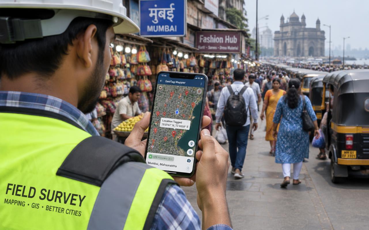
Geo-Tagged Location Mapping is a field service in which a trained team visiting and mapping outlets, sites or points of interest with GPS coordinates and photos. You share the locations and instructions; the team completes the visits, the evidence is reviewed, and you receive one consolidated report.
At a glance
- What this covers
- What the service is and how a visit runs
- Division
- Market research field work · Research Data
- Checklist points
- 5 standard checks
- Report outputs
- 4 deliverables
- Coverage
- Mumbai, Thane, Navi Mumbai, Panvel
- Read time
- 3 min
What you will learn
- Geo-Tagged Location Mapping in simple terms — Visiting and mapping outlets, sites or points of interest with GPS coordinates and photos
- What the field team checks — 5 points you can lift straight into your own brief
- What you receive — 4 points you can lift straight into your own brief
Geo-Tagged Location Mapping in simple terms
Visiting and mapping outlets, sites or points of interest with GPS coordinates and photos. It gives you independent, on-the-ground evidence instead of relying on self-reported updates from outlets, vendors or staff.
In Mumbai and its neighbouring cities, geo-Tagged Location Mapping is usually run as a batch across many addresses, so route planning, consistent checklists and evidence review matter as much as the visit itself.
What the field team checks
- Location visited physically
- GPS coordinates captured
- Front photo taken
- Category and attributes coded
- Duplicates removed
What you receive
- Geo-coded location list (Excel / KML)
- Photo per location
- Category summary
- Map view export
How a visit is run
- Addresses are grouped into routes by area and travel time
- The field person works through the 5-point checklist on site
- Photographs are captured against the points that need proof
- Every photograph and answer carries the job ID and location ID
- A supervisor reviews the submission and queries anything unclear
- Visits that could not be completed are marked with a reason for a revisit decision
- Completed visits are consolidated into one report
What to share before the visits
- Research objective and target respondents
- Questionnaire or screener
- Sample size and quotas
- Timeline and data format
When businesses use it
- Before paying a vendor, installer or agency
- After a campaign, installation or launch
- On a recurring schedule for compliance
- When an exception or complaint needs independent confirmation
Key takeaways
- Geo-Tagged Location Mapping replaces self-reported updates with a visit record: 5 checklist points, photographs and one consolidated report.
- The checklist runs from location visited physically to duplicates removed, with evidence recorded against the points that decide the outcome.
- You receive 4 outputs: Geo-coded location list (Excel / KML), Photo per location, Category summary, Map view export.
- Photographs are geo-tagged and time-stamped, every submission is reviewed by a supervisor and a random sample is back-checked — which is what makes a research data record worth quoting internally.
- Visits run across Mumbai City, the Western and Eastern Suburbs, Thane, Navi Mumbai and Panvel, and assignments typically start within one to three working days of a complete brief.
What to do next
If geo-Tagged Location Mapping looks right for your situation, these are the three things a field team needs from you before the first visit.
Scope
Put the location list together
Full addresses with a pin code, and a contact name where you have one. Research objective and target respondents is the first thing asked for.
Checklist
Fix the 5 points you want answered
Start from the list above — location visited physically — then add or delete points so nothing is left to a field person's interpretation.
Evidence
Say what proof you want back
Geo-coded location list (Excel / KML) is the standard output. Anything beyond that is easier to agree now than after the first batch.
Before you send it
Starting geo-tagged location mapping
Assignments typically start within one to three working days of a complete brief, depending on volume and spread.
Share a brief and location listFrequently asked questions
What is geo-Tagged Location Mapping?
Geo-Tagged Location Mapping is a field service in which a trained team visiting and mapping outlets, sites or points of interest with GPS coordinates and photos. You share the locations and instructions; the team completes the visits, the evidence is reviewed, and you receive one consolidated report.
Which areas do you cover for geo-Tagged Location Mapping?
Mumbai City, the Western and Eastern Suburbs, Thane, Navi Mumbai and Panvel, with local field teams in each area.
How fast can geo-Tagged Location Mapping start?
Most assignments start within one to three working days of receiving a complete brief, depending on volume and spread.
What evidence will I receive?
Geo-coded location list (Excel / KML) and Photo per location, matched to a unique job and location ID.